
Integrated Geospatial Information Framework (IGIF) Country-level Implementation: Templates and Tools
The World Bank Urban, Disaster Risk Management, Resilience and Land Global Practice (GPURL) and Land and Geospatial Team, supported by the Korea Green Growth Trust Fund (KGGTF), have prepared these templates.
The World Bank team was led by Kathrine Kelm, Senior Land Administration Specialist, Land and Geospatial Team, and included Andrew Coote, Dr Lesley Arnold and Dr Robin McLaren.
The concepts for the methodology are based on the Integrated Geospatial Information Framework (IGIF), which was adopted by the United Nations Committee of Experts on Global Geospatial Information Management (UN-GGIM), August 2018.
The World Bank Methodology was developed in conjunction with the Food and Agriculture Organization of the United Nations.
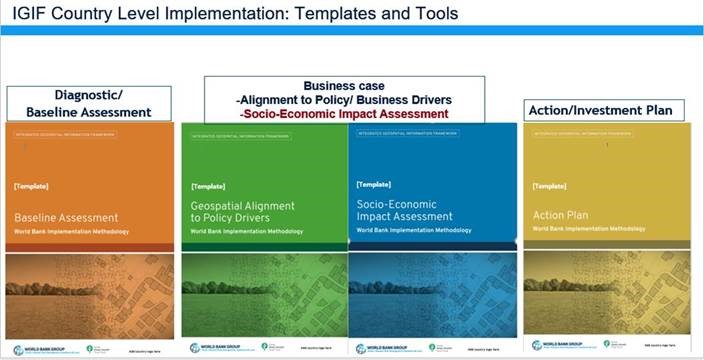
Templates and Tools:
-
Baseline Assessment
-
Geospatial Alignment to Policy Drivers
-
Socio-Economic Impact Assessment
-
Action Plan
Annexes:
-
Diagnostic Template - Baseline Assessment
-
Socio-Economic Impact Assessment - Generic Process Description
-
Green Growth Use Cases - Socio-economic Impact Assessment
-
Cost Benefits Analysis - Socio-economic Impact Assessment
More Information
For further information regarding this template or to acquire additional copies please contact:
The World Bank
1818 H Street, Washington DC, 20433, USA
Kathrine Kelm, Senior Land Administration Specialist
Urban, Disaster Risk Management, Resilience and Land Global Practice
Email: kkelm@worldbank.org | Web: www.worldbank.org